The thing I miss / needed most about Google Maps transit directions were that they included effectively all transit agencies: NYC Subways, Metro North, New Jersey Transit, Amtrak, etc. One way I’m going to be testing “replacements” is by giving them a route I know crosses agencies.
A simple route is from New Brunswick NJ to Washington DC. Both are Amtrak stations on the Northeast Corridor Line, but New Brunswick isn’t serviced by most trains, so you have to take an NJT train North or South to a more regularly served Amtrak Station. I usually use Metropark even though being north it’s in the wrong direction because it’s a shorter trip on NJT and a longer trip on Amtrak (the Amtrak trains are obviously much faster).
Here’s Google offering exactly that

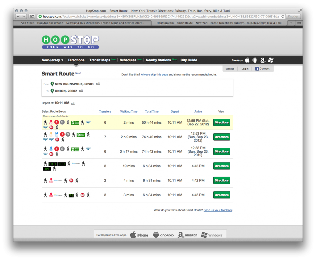
And here’s HOPSTOP, an app recommended by a 9to5mac article.

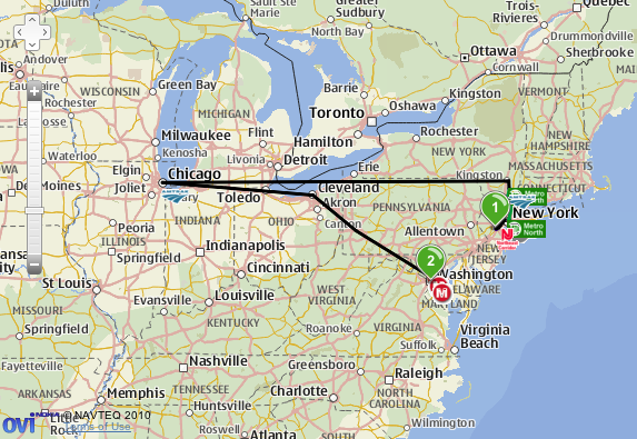
And no, those 6 hr routes on the bottom aren’t just slower Northeast Regional Trains and a long wait at New York Penn. Here’s the map of that first “Recommended” Route.
Needless to say, the maps.google.com shortcut is now on my home screen.

